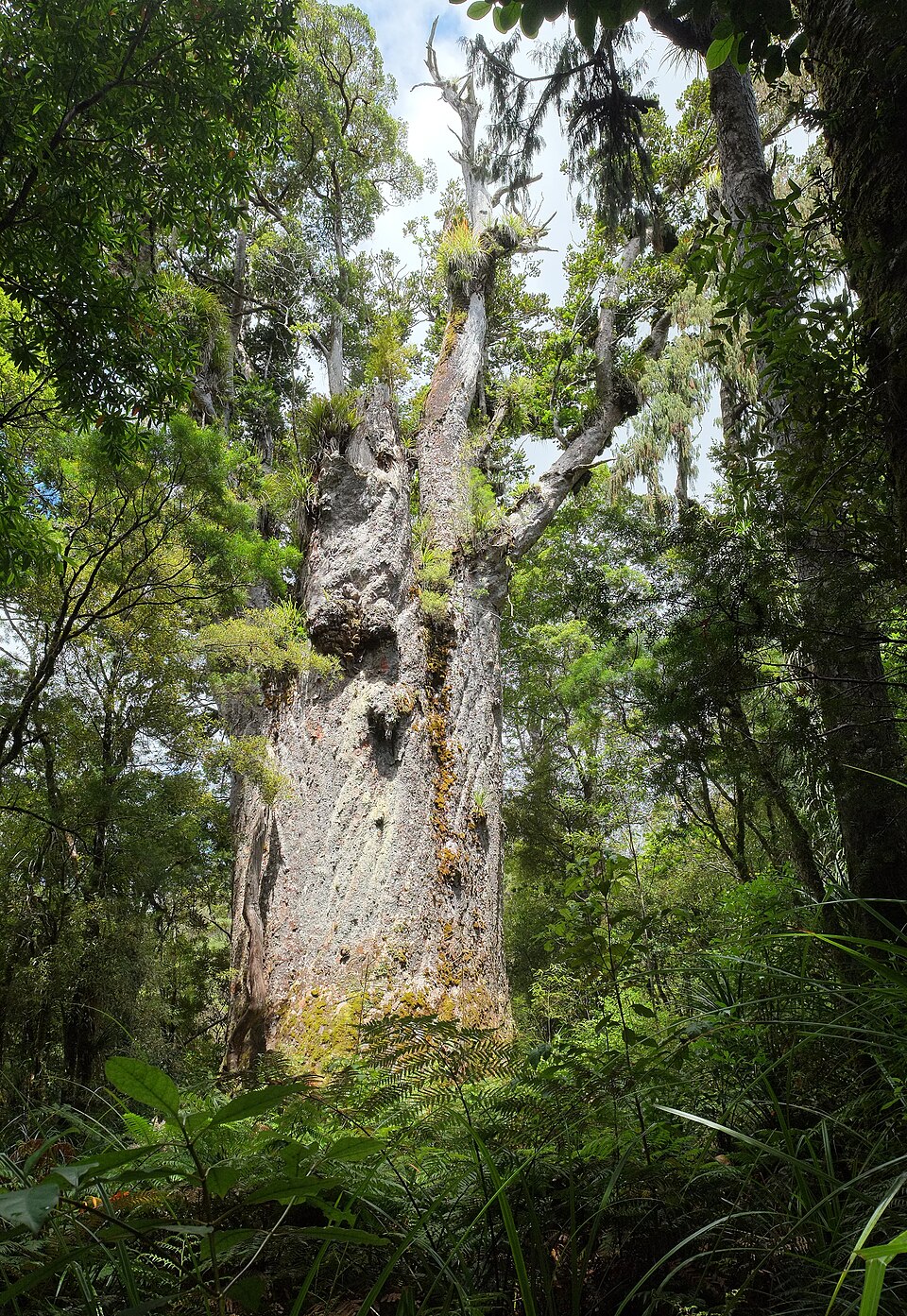
Everyone who walks to the largest known kauri in New Zealand scrubs their shoes first. The boardwalk is 166 metres long, takes five minutes, and never touches the ground, because kauri dieback disease travels in the soil people carry on their soles and this tree's roots run wide and shallow just under the leaf litter. Tāne Mahuta means Lord of the Forest. Dr Robert Van Pelt measured it in 2002 at 15.44 metres round and 45.2 metres tall, with 255 cubic metres of trunk. The Department of Conservation's own page gives 13.77 metres round and 51.2 metres tall and does not say when that was taken, so read the figures as a range rather than a record. The age is an estimate by necessity, since nobody is going to core a tree like this: the usual published span is 1,250 to 2,500 years. Either way it was mature long before the first European ship appeared off Northland, and it stood through the nineteenth-century kauri trade that took almost every other tree of its size in the country. What is left of that forest is largely what is around it. The track closed in late 2024 for a new boardwalk, bridge and viewing platform, and reopened that December with a dawn blessing by Te Roroa, who hold guardianship over the tree. Free, open 9am to 3pm, signposted straight off State Highway 12.
Tāne Mahuta Walk car park, State Highway 12, Waipoua Forest, Northland, New ZealandYou can recognise it by the trunk, 13.77 to 15.44 metres round depending on the survey, at the end of a boardwalk that never touches the ground. It stands at the Tane Mahuta Walk car park, State Highway 12.
Free. A short, easy, wheelchair- and buggy-accessible boardwalk (166 m, about 5 minutes one way) from a roadside car park directly off State Highway 12, open 9am-3pm daily (hours can shift seasonally, check DOC's page). A mandatory shoe/gear cleaning station sits at the entrance to stop kauri dieback disease spreading; visitors must stay on the boardwalk at all times to protect the tree's shallow, disease-vulnerable roots.
No public transport; reached by car on SH12. Roughly 65 km / under an hour from Dargaville to the south, 18 km from Omapere to the north.
Sources
Where the facts on this page come from.