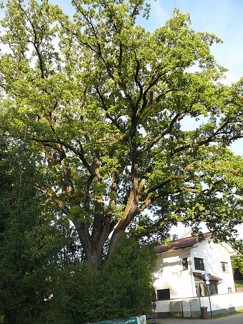
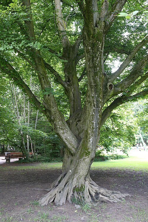
The Oak of the Hachinger Bach, Taufkirchen
Approximate location.
This oak marks a meeting of waters: it stands where the Entenbach runs into the Hachinger Bach, on the stretch of country between Taufkirchen and Unterhaching. The Landkreis München made it a natural monument in March 2020, and its list describes it by that confluence rather than by a house number. It is a pedunculate oak, the long-stalked acorn oak of Central Europe, and the photographs taken of it in April 2022 and again in July 2026 show the trunk right on the bank of the stream, bare in spring, under a full green crown in summer. That is the whole of the record. The designation gives no age, no girth and no height, and the ordinance that may explain why it was chosen is no longer online. So this is one to measure for us. If you carry a tape, a girth at chest height would let us estimate its age, and we would like to know it. Come along the stream, not the road. The Münchner Straße here has no pavement, while a public path follows the Hachinger Bach past the trunk as part of the signposted Hachinger Bach walking route. From Unterhaching station on the S3 it is roughly 1.5 to 2 km on foot.
catkins hang before the leaves are fully outacorns drop, and a good mast year buries the ground in themAutumn colour
The line is our estimate of how much there is to see, not a measurement. Typical for this species where this tree stands; exact weeks shift with the year.
Muenchner Strasse between Taufkirchen and Unterhaching, at the mouth of the Entenbach into the Hachinger Bach, 82024 TaufkirchenYou can recognise it by its place on the water: the oak on the bank where the Entenbach joins the Hachinger Bach, beside the stream path between Taufkirchen and Unterhaching.
Free. Stands beside a public dirt path along the Hachinger Bach (OSM way 344573583, no access restriction tagged, about 4 m from the register position); the path is part of the signposted Hachinger Bach hiking route. The ground is on a parcel boundary beside the Muenchner Strasse (St 2368, no pavement), so approach by the stream path, not along the road.
S3 to Unterhaching, then roughly 1.5 to 2 km on foot north-east along the Hachinger Bach path (distance estimated from the map, not measured; no bus line checked). About 20 minutes by S-Bahn from Marienplatz plus the walk.
Sources
Where the facts on this page come from.