Boole Tree
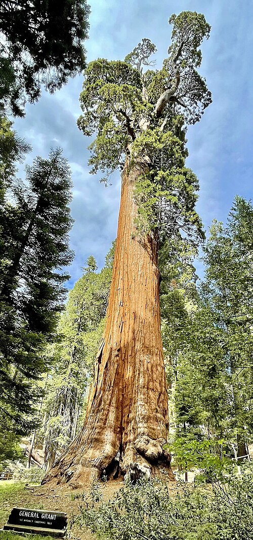
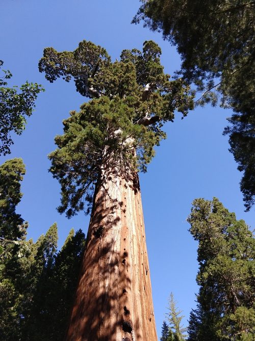
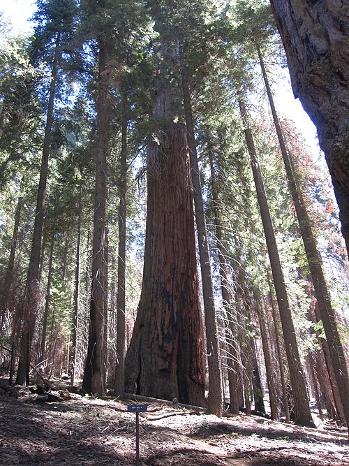
Around 8,000 giant sequoias were cut down in Converse Basin between 1897 and 1907, in what had been the largest sequoia grove in the world. The widest of them all was left standing. The Boole Tree measures 34.4 metres round at the base, the greatest circumference of any known sequoia. It is 81.9 metres tall and the sixth largest by volume, and it now stands on its own above the Kings River, in a basin that was logged out around it. Why it survived is disputed. The popular story says Frank Boole, the logging supervisor it is named after, spared it himself. His daughter denied that. Another account credits negotiation by the Sierra Club, and a third says it was simply too awkward to fell. All three are in print, and none of them has won. John Muir had already measured it in 1877, under a different name, the Hugh Miller. Twenty years later the saws arrived. Sources put the tree at over 2,000 years old, which makes the logging decade a short episode in a very long life. The tree stands on Forest Service land in Giant Sequoia National Monument, just outside Kings Canyon National Park, so there is no entrance fee. The Boole Tree Trail is a loop of roughly three and a half to five kilometres with 150 to 175 metres of climb, and the road to the trailhead opens seasonally, from late spring to early autumn.
From people who stood here
No notes yet
Did you visit the tree? Leave a note for the next visitor.
Getting there
Converse Basin Grove, Giant Sequoia National Monument, Sequoia National Forest, Fresno County, California
You can recognise it by the base, 34.4 metres round, wider than any other sequoia known. It stands on its own above the Kings River in Converse Basin, on the Boole Tree Trail loop.
Forest Service Converse Basin Grove page: Boole Tree Trail is a moderate 2.5 mile loop at the end of Forest Road 13S55 (turn off Highway 180 about 5 miles north of Grant Grove village); restrooms at the trailhead, no drinkable water; the Forest Service lists the standard amenity fee as collected at the National Park entrance stations (the $35 vehicle pass covers the Hume Lake District). Road is graded dirt.
Sources
Where the facts on this page come from. The story was written with AI from these sources, and readers who know the tree correct it.